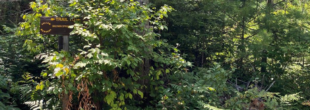
I’ve been staring at a trail in my guidebooks and on my maps for years now. It’s a tattered remnant of ancient times, called the Arrow Trail. It’s part of a network of old logging roads that cross the landscape of Wilcox Lake Wild Forest. From the ADK Eastern Trails (2018) guidebook description of the trail:
The Arrow Trail originally started from a clearing at the top of the big ridge along (Harrisburg) road… This cleared section once served as an area where logs were gathered and loaded for the trip out of the woods. For many years an old wagon axle marked with a big arrow stood in the clearing, pointing the way to the trail. The axle has rusted away, although signs of the original trail are still in evidence. 1
When my plans for this years races started to fall apart, my coach and I discussed finding alternatives. I looked, and found two reasonably close 50Ks at about the right time, the Dirty Dozen 50K, and the Tesla Hertz Run. The Dirty Dozen takes place in Queens, not far from when I lived for a few years, but my spouse and I agreed it wasn’t worth the risk of getting sick. The Tesla Hertz Run is out on the Island, almost to Riverhead, and it’s on the north shore. It’s tempting: the field seems to be small, and it’s a 10 mile loop, with two aid stations. My two 50Ks to date were unsupported, and I was really hoping to try a supported one this year. Given the current state of things, though, it looks like I’ll need to wait on that one, too.
My coach and I had discussed doing an adventure run, instead, so I turned my thoughts to that. My mind went back to the Arrow Trail, and as I looked at the map, I could see at once that there was a loop of trails and roads that could easily come out to 50K. At the far end of the Arrow Trail was a mythical place I had also been reading about for years: Baldwin Springs. An abandoned settlement, deep in the heart of a wilderness, with trails going off like spokes in several directions.
Trail runner paradise!
I should have known better.
Fast-forward to this weekend: I’ve been thinking about taking a series of recon trips, to examine the trailheads I’d be visiting on that 50K adventure. I decided to start with the deepest trailhead, at Baldwin Springs. I figured it would give me the best feel for the area. It was certainly eye-opening.
First of all, 100% of the fault here lies with me. I didn’t re-read any of my guidebooks before I left, and I didn’t even bring a guidebook or a map with me, aside from a map from the DEC website on my phone. I barely even knew where I was heading, and relied on a GPS app that frankly had no chance of working. I had no cell service on the dirt road, and I was relying on stored maps in Waze and Google Maps to confirm my progress.
Don’t try this at home, kids.
I managed to find my way to Harrisburg Road using Waze, but after that, it was largely up to memory: a right on Wolf Pond Road, a left on West Stony Creek Road. Follow it to almost the end, find the large natural meadow that is Baldwin Springs. Park. Explore.
Easy.
Not.
First of all, West Stony Creek Road is the most infuriating road I’ve ever driven on. There are a few stretches of glorious packed sand, macadam, or possibly tar and gravel, enough to get your hopes up that you can proceed like a normal driver. Then it descends back in to an infuriating potholed gravel mess. It’s 6.7 miles to the Baldwin Springs trailhead, and I was exhausted by the time I reached the end. I wished I was back in a Wrangler.
On top of that, you have to climb up to a high pass along the shoulder of Bearpen Peak. That high pass doesn’t show up at all on the DEC map; it looks flat on that map. In fact, it’s around 600’ of climbing from either side up to the pass. There’s a ridge to traverse near the end of the road, but it’s only about 100’ up and then the same back down.
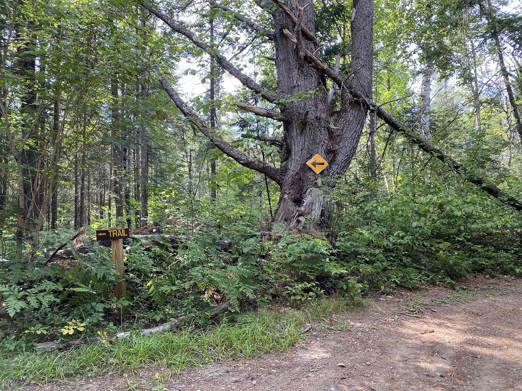
After about 40 minutes of driving, I came a T-junction, with a sign saying “← Trail”, and a snowmobile sign with an arrow pointing in the same direction. Had I chosen to ignore the signs and go right, I would have found the camping area on the DEC map. Instead, I turned left, following the arrow. Not too far down the road, I saw a trail heading off to the right, and several well-hidden signs indicating that this was the way to Baldwin Springs. I was confused, to put it mildly; my shoddy memory of the trailhead was that I was going to park at Baldwin Springs. So, I pushed on, hoping to find the mythical trailhead. Instead, I quickly came upon a sign indicating that I was about to head on to the private in-holding at the end of West Stony Creek Road. So, I made my way back, and decided to hike the 0.3 miles in to Baldwin Springs from the weirdly remote trailhead.
Across the road from the trailhead was an overgrown circular pull-off, but I only saw half of it, so I backed in, to much protest from my car. It was convinced that doom was impending with each inch crept backward, and told me all about it.
I parked, got ready to go, and headed out.
The bridge crossing the East Stony Creek had wide gaps on the deck, and I crossed with my weight under one of the tree trunks acting as stringers, just in case. It’s meant to take the weight of a snowmobile, so it should hold a single hiker just fine, but it looked like it had seen better days.
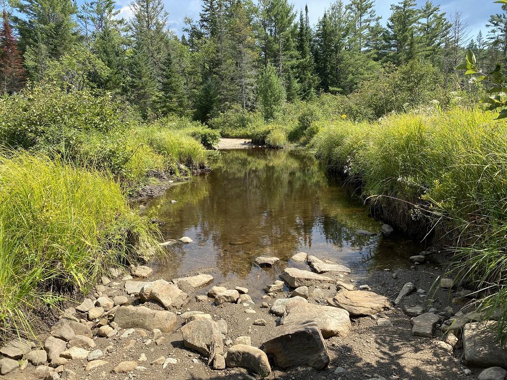
The old road beyond was overgrown in spots. It twisted its way down to a T-junction with another old woods road, this one wide and well traveled. I checked out both directions; to the left was the clearing with the actual Baldwin Springs trailhead; to the right, a water crossing with more dirt road beyond. I later found out that across this water crossing was the camping area, and some people ford that water, and do, in fact, park at the Baldwin Springs trailhead. I made my way back to the trail register, and signed in. I was the only person who had registered in over a week.
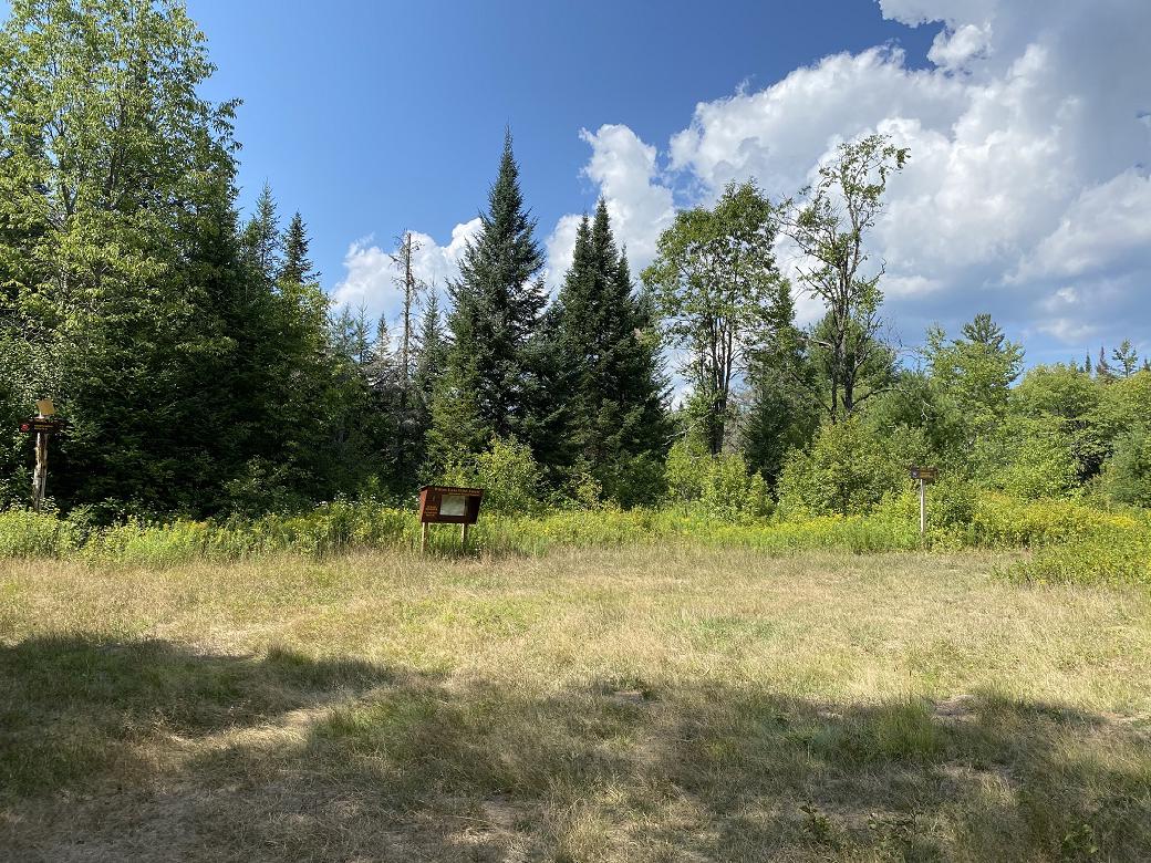
I headed down the Bartman Trail, toward the junction with the Lizard Pond Trail. The trail was another old woods road, this one wider and more used. As I headed out, I came to a large puddle, and to my surprise, I found minnows swimming in it. I wondered if that was a permanent puddle, or if they were all doomed. They scattered from my boots as I walked. The next muddy area held a dog-like print, without any human prints nearby. I didn’t stop to examine it closer, but it would have been the right size for a fox.
As I made my way to the junction, and on down the Lizard Pond Trail, thunder rumbled. I had heard it before, when I was on my way from my car to the trailhead, but it had seemed distant. This new storm was closer. I decided to turn back, since I wasn’t likely to find a place to wait out the storm. Back at the junction, I intentionally wandered briefly down the Bartman Trail in the wrong direction, just to see. Back at Baldwin Springs, I stuck my head down the Oregon Trail briefly. It looked inviting, a carpet of green covering an old woods road.
A greenway.
My favorite.
I resisted.
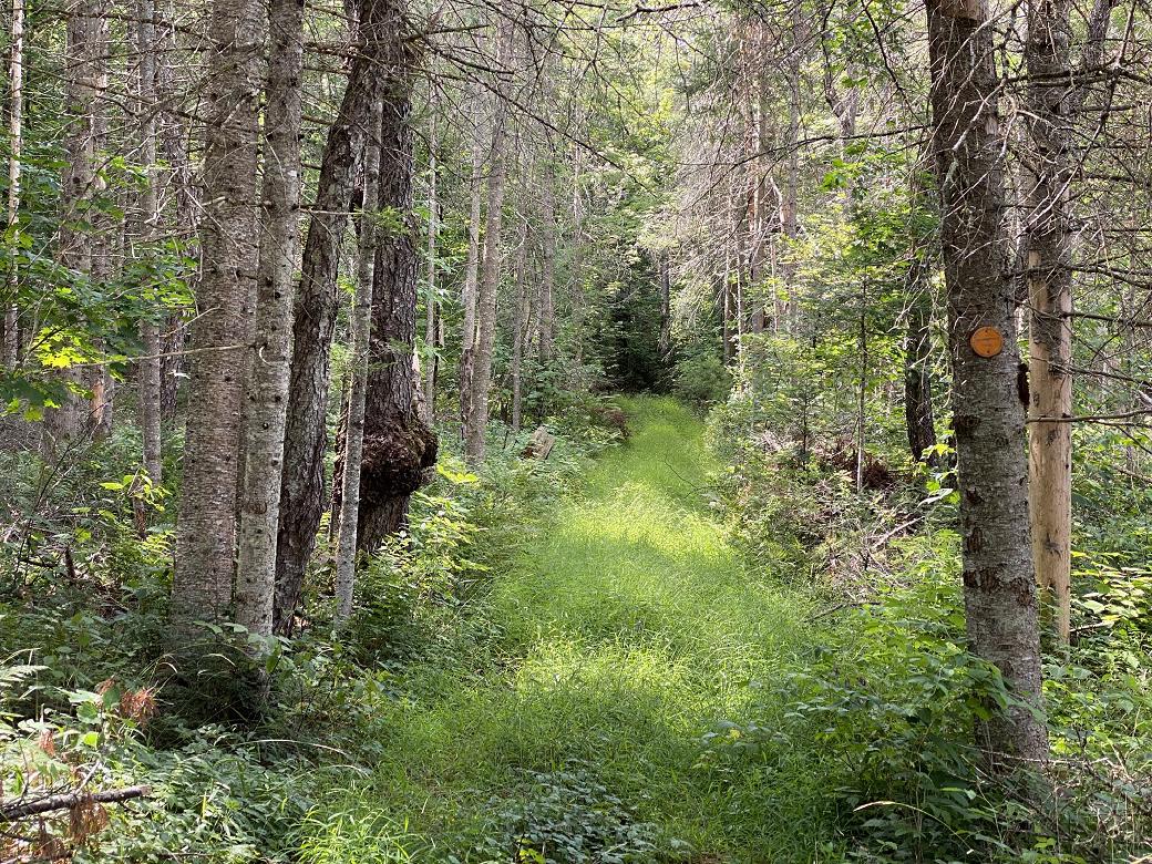
As I made my way back to the car, it occurred to me that the storm was gone, and it hadn’t rained at all. I had turned back for nothing, and it was getting too late to try again. I found out later that the storm had tracked several miles to the east.
As I drove back, I measured various landmarks in time and speed, and I made an effort to find the other trailheads along the road. I found the Indian Pond Trail, but the sign was half gone. I saw no trace of the Bypass Trail, aside from the dozens of pull-offs, all of which looked like they could lead to a trail, but none of which appeared to actually do so.
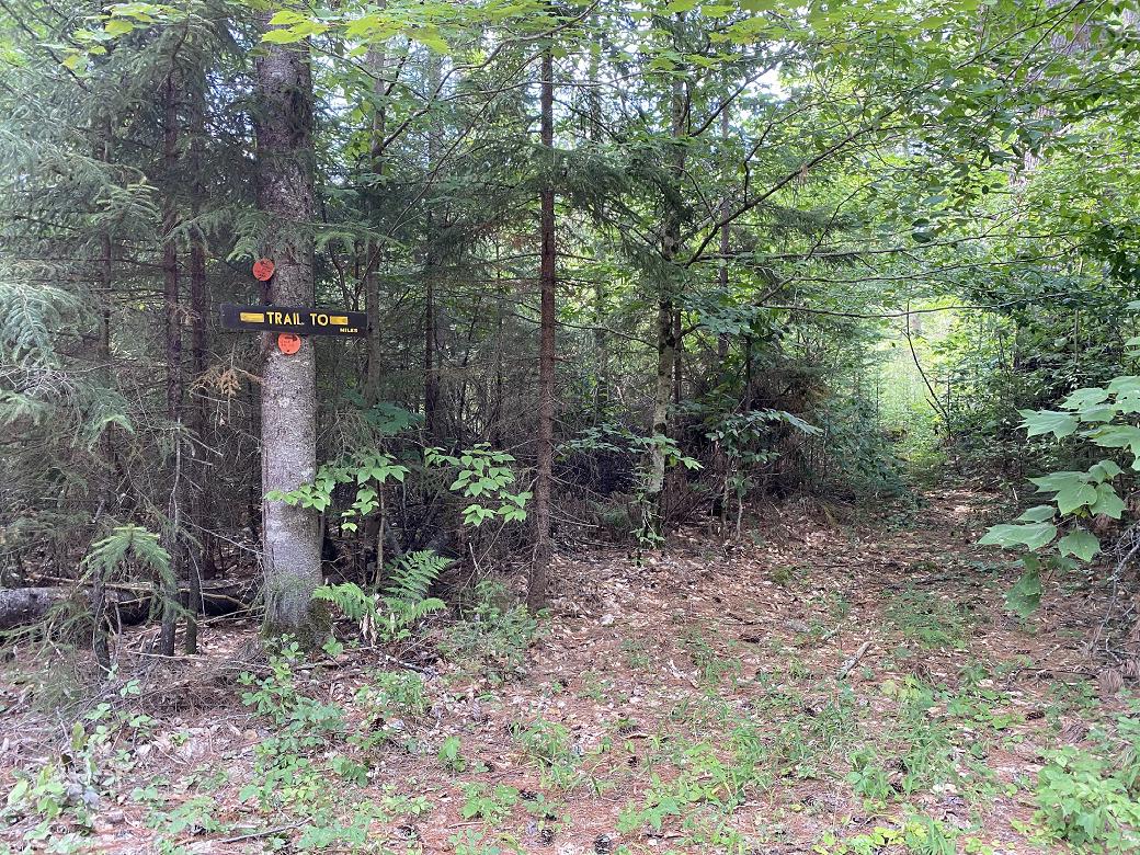
I got back to Wolf Pond Road, and tried to text my spouse, but I still had no service. It wasn’t until I was 20 minutes down the road that my watch started buzzing like a maniac. I pulled off the road at a small turn-off and let her know I was OK. I had forgotten to warn her that I might be out of cell range, and she was in a panic. Last summer I had fallen at Moreau and slid into a rock along the trail, giving myself a nasty knock on the head. She was worried about a repeat of that, or worse.
I reassured her, and made my way back home.
Afterward, I realized I was sore in my legs and in my right hand. I hadn’t hiked far enough or hard enough for my legs to be sore; I think the 80 minutes out and back along the access road did me in.
With further reflection, I want to explore this wild forest more on mountain bike, instead of on foot. I saw a few features that made me hesitant to run it, and I need to know how prevalent they are, and whether or not they present the same danger in other seasons. In particular, there was a stream crossing, possibly an outlet of a pond, that was packed full of basketball sized rocks, almost like cobblestones, and they were mostly obscured by plants. Hidden amongst these rocks were one or two large holes of roughly the same size, and it wasn’t obvious that they were there until you were right on top of it. I was fine as a hiker, but as a runner I could have easily gotten caught, tripped, and slammed my knee against one of the rocks.
Anyway, that’s enough doom and gloom for one post. Until next time, be excellent to each other!
Thanks to citethisforme for the formatting help.
-
Thomas-Train, David (2018). Adirondack Mountain Club Eastern Trails (5th ed., p. 239). Adirondack Mountain Club, Inc. ↩︎
