
The measure of a life is a measure of love and respect
So hard to earn, so easily burned
In the fullness of time
A garden to nurture and protect
In the rise and the set of the sun
‘Til the stars go spinning – spinning ’round the night
It is what it is – and forever
Each moment a memory in flight
...
The treasure of a life is a measure of love and respect
The way you live, the gifts that you give
In the fullness of time
It’s the only return that you expect
The future disappears into memory
With only a moment between
Forever dwells in that moment
Hope is what remains to be seen
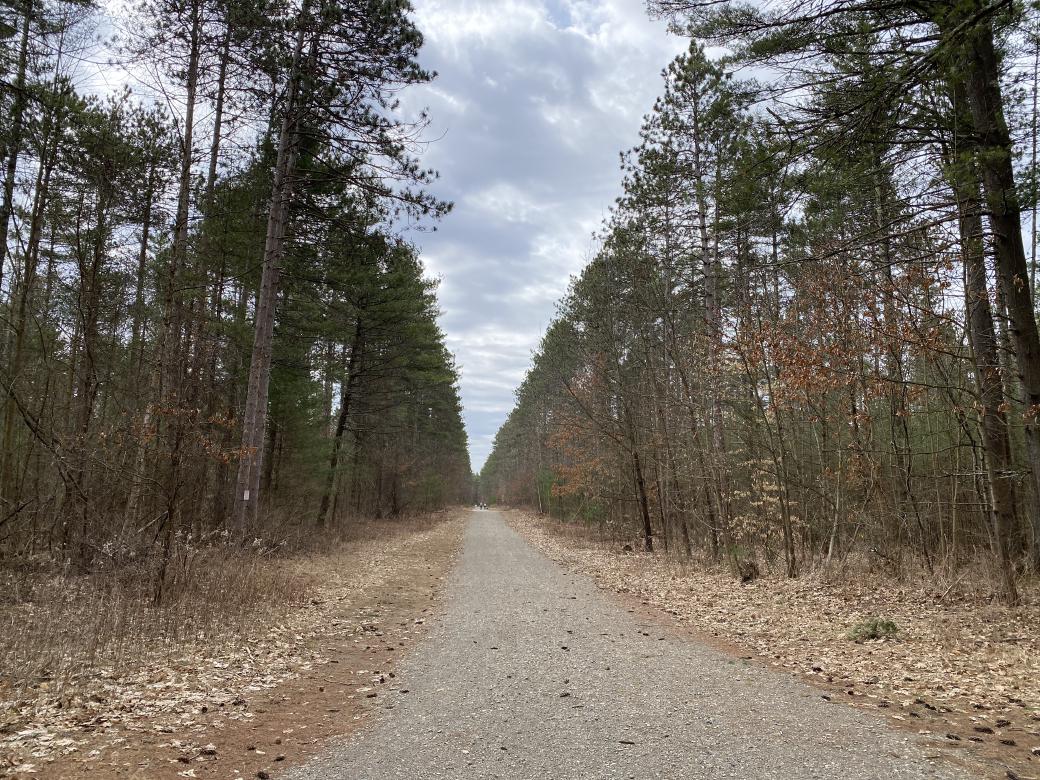
I had taken the day off, for mental health, and wanted to go for a hike. I had been thinking about going down to Mohonk, but chose to hike Rush Pond Trail in Queensbury instead. I’ve been there a few times, and it’s a hard-packed, rolling old woods road. It’s perfect for mud season.
While preparing for the hike, I noticed that the official trail through Potters Woods, called Halfway Brook Trail, was open. I decided to check that out on my way to the Rush Pond trailhead.
I parked at the large lot on Potter Road, and headed south. It’s a wide access road at this point, part of a grid of woods roads. The first major intersection is even wider access road, described as a firebreak on the USGS topo map of the area. It’s also marked as off limits, with gates and large signs indicating as such.
At the next intersection, the trail hangs a hard right, onto a smaller woods road, with evidence of overgrown woods roads intersecting at regular intervals. A hard left a short time later brought me to evidence of multiple herd paths, sprouting off on either side. There’s a short descent to Halfway Brook, and then you’re presented with a lovely bridge.

On the other side of the brook, there was a winding climb back to roughly the same elevation the trail started at. After that, it’s back to wide access roads and firebreaks. There’s evidence of tree harvesting on the south side of the woods.
I got to the southern trailhead, looked around, and then headed back. As I was heading back, I thought about a gravel path I had seen along the side of Potter Road on my way in. I reviewed the informational brochure again, and noticed that there was an information box and a mark on the map indicating that Halfway Brook Trail was intended as a connector for Rush Pond Trail. Google Maps confirmed that, yes, the southern trailhead for Rush Pond was a short walk on the other side of Aviation Road.
I’ve traveled the length of Rush Pond Trail from the north several times, and every time I have gotten to the southern trailhead, I’ve stood there for a moment, trying to figure out if there was any other trails nearby to link with. The Queensbury School XC trails are nearby, and I’ve run on them once, but it always felt like there was something else out there.
Finally, I had my answer.
I stopped briefly at my car, grabbed a few snacks, and headed north toward the Rush Pond Trail.

Rush Pond has some beautiful spots, including a long low bridge or boardwalk over the marshy outlet. At times like this, when the foliage is down, you have good views of Rush Pond for a good portion of your trip. Unfortunately, it’s blocked almost constantly by trees. You can see past the trees when you’re walking, and you can see how gorgeous the pond is, but you can’t get a clear picture of it.

My right heel started hurting as I hiked north. I decided to call it quits at the T-junction with the secondary parking lot off of West Mountain Road. The rest of the walk back was uneventful.
One final footnote: there’s one more park to the north, a short distance past the northern terminus of Rush Pond Trail, called Gurney Lane, which offers a variety of activities. You can get there on foot, or bike, and make an even longer day out of it.