
My last two weekend long runs were at Daniels Road State Forest. On February 23rd, I decided to drive in to the trailhead, which was a mistake. The road was two rutted tracks, 6 inches deep, and slippery the entire way. If I had needed to pull off to let another car pass, I would have been stuck. Amazingly, one other car was parked at the trailhead: another Subaru.
The run was disappointing, but beautiful. I had hoped to explore the length of the Main Trail, but failed to appreciate the state of the trail. It was well broken, and mostly runable, all the way up to the junction with the Putnam Dam Trail. After that, the Main Trail was broken with only bare boots. With hindsight I can also see that the trail was far more rolling than it had been previously, and that also slowed me down, and would have deterred anyone not on boots or snowshoes.
Still, I’m grateful for the many souls who went before me, and broke the trail. The markers are sporadic on the Main Trail, and they’re all maddeningly red, which means I can’t see them very well. I turned around not far from the Rookery Trail, bushwhacking over to the Putnam Dam trail to see if it was any better, but it was broken only by a single set of prints. I bushwhacked back to the red trail, and headed home.
This week I opted to park off of Daniels Road, and run on the Skidmore carriage roads. This ended up being a wiser choice, and by sticking to the western carriage roads, I quickly ended up at the section that had thwarted me last week. I started up a trail called Twizzler, still unbroken, and quickly retreated when I realized that I wasn’t going to be able to run if I was breaking trail. I headed over to the Putnam Dam intersection again, and was greeted by the same scenario I had faced a week earlier.
This time, I chose to follow the Putnam Dam trail. I relied heavily on SMBA’s Avenza map, and learned to trust that my phone’s compass was accurate enough to navigate, a trick that would have served me very well last September on the last leg of the Shawangunk Ridge Trail. That story is still waiting to be written, but in the dark of the night, on barely marked trails, 5 under-illuminated souls teamed up and wandered the last several miles though literal streams, to a parking lot in the middle of nowhere. I ended up being the navigator, and illuminator.
The Putnam Dam trail had also been broken at some point by a single hiker, and I followed their snowed-over boot prints as well as I could, confirming their track with SMBA’s track on Avenza. I made it as far as the point I had visited a week prior, and then cut back over to the Main Trail again, giving up on seeing the rest of the trails that day.
With my new confidence in my map software, I gave Twizzler another try, and eventually cut a trail. Again, I was following a lone pair of boot prints for some of it, but for parts they just disappeared all together, and I relied on guts and a blue arrow.
Once I was finished with Twizzler, I indulged myself in a quick trip out onto the marsh, and then headed back the long way. The quality of the snow had deteriorated from the week prior, and much of it was the consistency of mashed potatoes. My legs told me to piss off, and I walked the majority of the way back to my car.
I look forward to getting back out there, and seeing the rest of the trails. There’s a real beauty to these woods, and I still have miles left to see. I thought I had seen most of it on my exploratory runs last year, but I realize now that much of that was actually on Skidmore’s land. Daniels Road State Forest extends even further back into the woods. It gives a good sense of how the Palmertown Trail might finally become reality, linking up to Lincoln Mountain State Forest and then on to Moreau. I look forward to that adventure.
That’s it for tonight. Be excellent to each other.
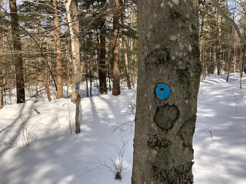
Image: Old and new markers along the Putnam Dam Trail.
This was originally posted on my Wordpress blog.